


Top 10 local walks with pubs
21st August 2020
Local Living Publisher Nicholas Rudd-Jones, author of two walking guides (Urban Rambles and Pathways), has collated his 10 favourite walks in our region, all of which have a fabulous pub at the finish.
‘I have walked myself into my best thoughts, and I know of no thought so burdensome that one cannot walk away from it. If one keeps on walking, everything will be alright.’
Kierkegaard
I love walking, we all love walking, it makes us feel better, happier and more connected to nature and one’s companions through spending uninterrupted time together. It has been especially important during lockdown.
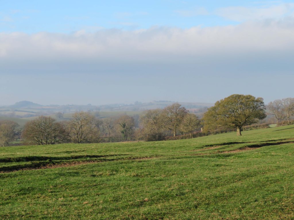
And this region has so much varied landscape. The flat lands to the east (an acquired taste), the hillier country to the west, the plateau of Jurassic limestone that runs through the middle level from north to south and offers up the beautiful honey-coloured stone that defines our vernacular architecture. All intercut west to east by the majestic Nene and Welland valleys and the delightful smaller valleys of the Gwash, the Chater, the Eyebrook and Willow Brook. And, finally, the man-made interventions of the Great North Road, which has been with us in some form since Roman times, and the much more harmonious creation of Rutland Water.
Here is an overview of my 10 favourite walks in the region. For full directions and maps for each walk, click into the individual walks in this section.
Just a few things to note:
- Call ahead to pubs to check the latest requirements and whether or not you need to book a table.
- Note that the walks here were written pre-Covid, so bear that in mind when any museums, sites, etc, are mentioned.
- Never call a walk a walk if kids are coming – call it an adventure… which it always is.
1. HALLATON ROUND (THE BEWICKE ARMS)
This is a lovely walk that makes you feel on top of the world (albeit only 535ft/163m), with long views over the Welland Valley and a start and finish in the quaint village of Hallaton.
- How far? 5.4 miles (8.6km), allow 2 hours
- OS map: Explorer 233, Landranger 141
- Start & finish: Hallaton (LE16 8UB)
- Route: Head southwest to Cranoe, north to Hallaton Wood, then back to Hallaton
- Our pub favourite: The Bewicke Arms, Hallaton, LE16 8UB. A traditional village pub with a good garden at the back. Recently established owners offer really good food.
2. BRAUNSTON & LAUNDE ABBEY (THE BLUE BALL)
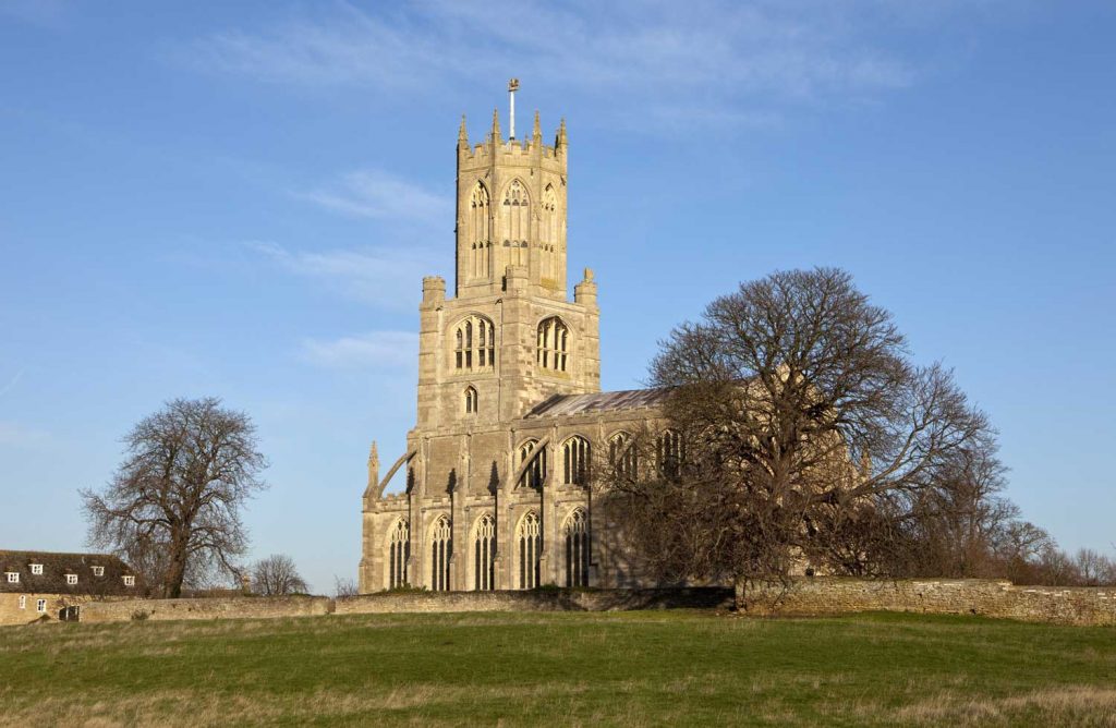
This walk starts at the pretty village of Braunston-in-Rutland, passing through gently undulating countryside. It has some interesting historical features and wonderful views over the remote Chater Valley.
- How far? 6 miles (10km), allow 2.5 hours
- OS map: Explorer 234, Landranger 141
- Start & finish: Braunston All Saints’ Church (LE15 8QS)
- Route: Head south west past South Lodge Farm to Launde Road; head south to Launde Abbey; head east on southern bank of River Chater, then north-east back to Braunston.
- Our pub favourite: The Blue Ball, LE15 8QS, opposite the church. Good food and a really friendly place, ideal post-walk.
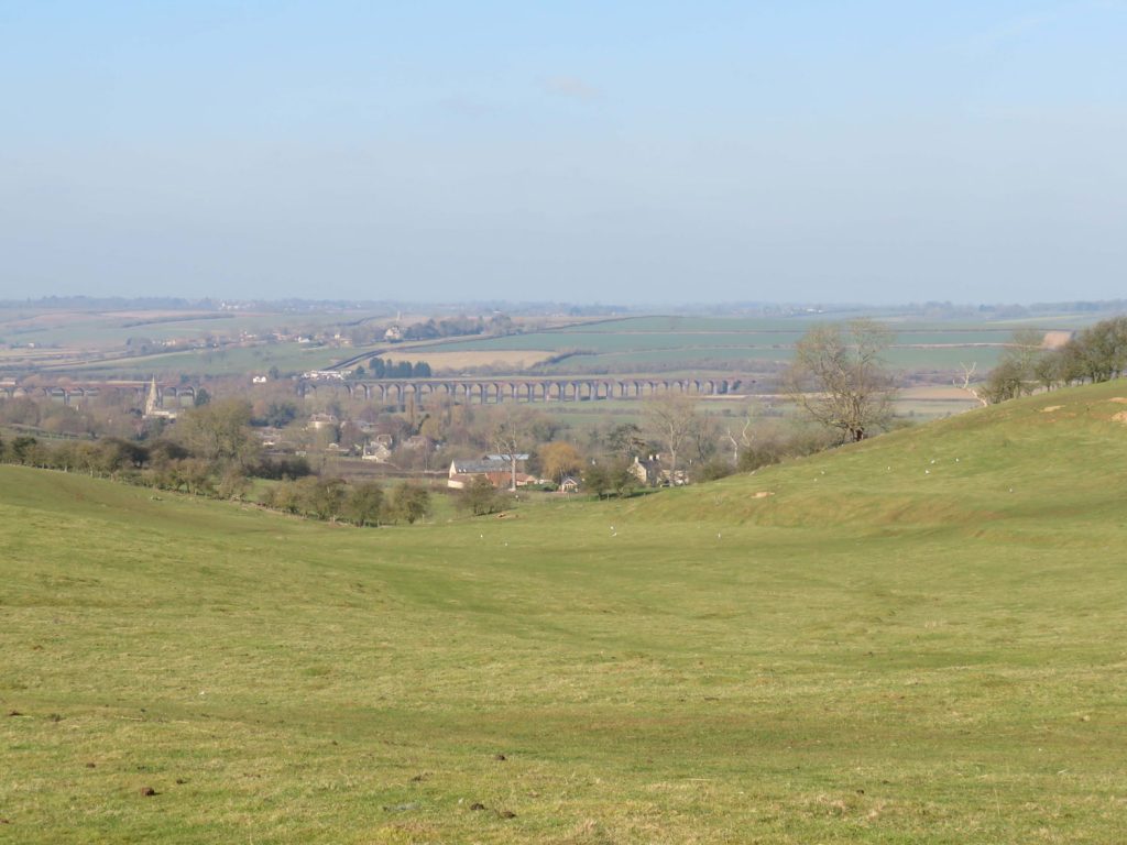
3. SEATON AND HARRINGWORTH (THE GEORGE & DRAGON)
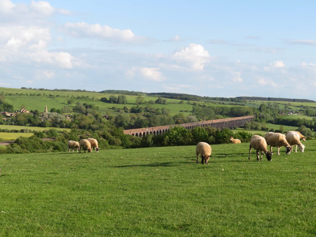
This walk offers views without parallel in the region, effectively a circumnavigation of the Harringworth Viaduct, described by the original landowner as ‘one of the grandest and most perfect pieces of work’. And who can disagree?
- How far? 4.4 miles (7.1km), allow 1 hours 45 mins
- OS map: Explorer 234, Landranger 141
- Start & finish: Seaton Church (LE15 9HR)
- Route: Head south on the footpath to Harringworth, go east along the Jurassic Way; cross the Welland at Turtle Bridge and head up to the road; follow the road carefully back to Seaton.
- Our pub favourite: The George and Dragon, LE15 9HU, has been revitalised in the last two years under new ownership (Ralph Offer) and now offers top-rate cooking and a warm welcome. Try the suntrap patio out the back. Oh Curio, in Harringworth, does great coffees.
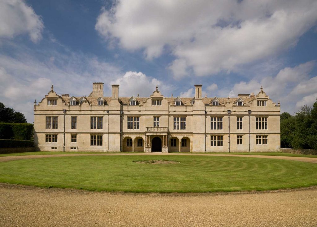
4. BURGHLEY HOUSE & PILSGATE (THE BULL & SWAN)
This is really a circumnavigation of Burghley House, with great views from the southern side, and the full circuit made possible by the permissive footpath running between Pilsgate and the Burghley House entrance.
- How far? 7 miles (11.2km), allow 2 hours 45 mins
- OS map: Explorer 234, Landranger 141/142
- Start & finish: Cattle Market Car Park, Stamford (PE9 2WB)
- Route: Head up hill to Wothorpe First Drift, then head south east through Burghley Golf Club and Park; turn left on road to Pilsgate, take permissive path back to Burghley House, head through park to St Martin’s.
- Our pub favourite: The Bull & Swan, 24 St Martin’s, PE9 2LJ. Great outdoor space and a pizza oven out the back on hot days.
5. BARROWDEN ROUND (EXETER ARMS)
This is a gem of a walk, with a huge mix of terrain and a pub with a glorious view of the Welland Valley to finish. Stop whatever you are doing on the next fine day and enjoy this burst of wonderful countryside
- How far? 7.5 miles (12km), allow 3 hours
- OS map: Explorer 234, Landranger 141
- Start & finish: Barrowden Village Green
(LE15 8EQ) - Route: Head south west along the Jurassic Way, taking a footpath across a field to reach Shotley; go up the steep hill, bearing left on a permissive path through the disused quarry and old airfield to Wakerley Wood; re-join the Jurassic Way and head back to Lyddington.
- Our pub favourite: Exeter Arms, on the green, LE15 8EQ. You cannot beat a beer on the terrace here overlooking the valley and duck pond. Good pub food too, plus lots of outdoor space.
6. KINGS CLIFFE & BLATHERWYCKE (THE CROSS KEYS)
Wait for a crisp, blue sky day and set out on this wonderful walk, traversing a varied landscape from deep woodland to sheep-grazing pastures and a path alongside the babbling Will Brook.
- How far? 6 miles (9.6km), allow 2 hours 45 mins
- OS map: Explorer 234, Landranger 141
- Start & finish: Post Office, Kings Cliffe (PE8 6XB)
- Route: Cross the disused railway line and head west to Fineshade Abbey; head south to Blatherwycke, then north east along the southern edge of the lake to return to Kings Cliffe.
- Note also: An excellent short walk along the disused railway line, from Westhay Wood (west) to Apethorpe (east).
- Our pub favourite: The Cross Keys, Kings Cliffe, PE8 6XA. Welcoming pub under new management, with a space out the back.
- Also: Kings Cliffe Bakery, 68 West Street PE8 6XA. Delicious savouries and buns. Check opening times at www.kingscliffebakery.com.
7. APETHORPE AND BEDFORD PURLIEUS (THE WILLOW AND BROOK)
Bedford Purlieus has been described as one of the most flower-rich woods in England, and Apethorpe is certainly one of the prettiest villages.
- How far? 7 miles (11.2km), allow 3 hours
- OS Map: Explorer 234 or Landranger 141
- Start & finish: Lay-by near to Apethorpe Bridge (PE8 5DQ)
- Route: Walk north then east from Apethorpe Bridge and then north to Bedford Purlieus; head up through the wood until you reach the stream, then head west; when you come out of the wood, take a south west route to the road, then south back to Apethorpe Bridge.
- Our pub favourite: The Willow and Brook, Kings Cliffe Road, Apethorpe, PE8 5DG. Suzanne and Jim have taken over this year and brought this lovely building back to life with good food, a picturesque courtyard and great hospitality.
8. FOTHERINGHAY (THE FALCON INN)
- This walk takes you through an area steeped in history and lovely stretches of the River Nene.
- How far? 5 miles (8km), allow 2 hours
- OS map: Explorer 227, Landranger 142
- Start & finish: Fotheringhay Main Street, PE8 5HZ
- Route: Head north out of the village, follow the Willow Brook to the main track, right in spinney across to Park Lodge then Elton; south to Warmington Mill, back across the fields to Fotheringhay.
- Our pub favourite: The Falcon Inn, Fotheringhay, PE8 5HZ. Excellent pub and restaurant food, charming garden looking towards the church.
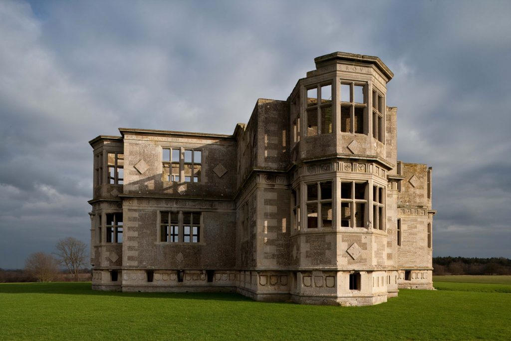
9. LYVEDEN WAY (THE KING’S HEAD, WADENHOE)
This walk has just about everything you could wish for – a charming village, a winding river, contours, ancient buildings, woods and heathland… oh, and red kites. And because it’s a well-maintained path with a welcoming pub at the end, it’s a good bet for a walk with the family.
- How far? 6.5 miles (10.4km), allow 2.5 hours
- OS map: Explorer 224, Landranger 141
- Start & finish: The King’s Head, Wadenhoe, PE8 5XD, public car park 20 yards beyond it
- Route: Head past the church on the hill west out of Wadenhoe, through Lady Wood to Lyveden New Bield; return via Lilford Wood.
- Our pub favourite: The King’s Head at Wadenhoe, PE8 5XD, is full of character, good food and good ales. When the weather is good, you can sit in the delightful garden on the banks of the Nene.
10. POLEBROOK AND BARNWELL (KING’S ARMS, POLEBROOK; THE MONTAGU ARMS, BARNWELL)
This walk takes in two very attractive villages and glorious views looking down across to Oundle and the Nene Valley. It’s good for wildlife and plenty of red kites.
- How far? 6 miles (9.8km), allow 2.5 hours
- OS map: Explorer 227, Landranger 142
- Start & finish: Polebrook (PE8 5LW)
- Route: Head south west to Armston Grove and Barnwell; head east through Friars Close Farm to Broadway Corner and North Lodge Farm; head north back to Polebrook.
- Our pub favourites: King’s Arms, Polebrook, King’s Arms Lane, PE8 5LW. A delightful pub, full of character. The Montagu Arms, Barnwell, PE8 5PH. Another cracking pub – you are spoilt for choice on this walk. If the weather is good, sit on the benches out front.