


Polebrook & Barnwell
21st August 2020
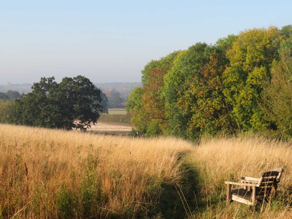
This walk takes in two very attractive villages and glorious views looking down across to Oundle and the Nene Valley. Good for spotting wildlife, especially red kites!
KEY DATA
- Distance: 6 miles (9.8kms)
- Typical time: 2.5 hours
- OS map: Explorer 227, Landranger 142
- Start & finish: Polebrook (PE8 5LW)
- Terrain: a gentle climb, very muddy potentially across fields
- Stiles: 2
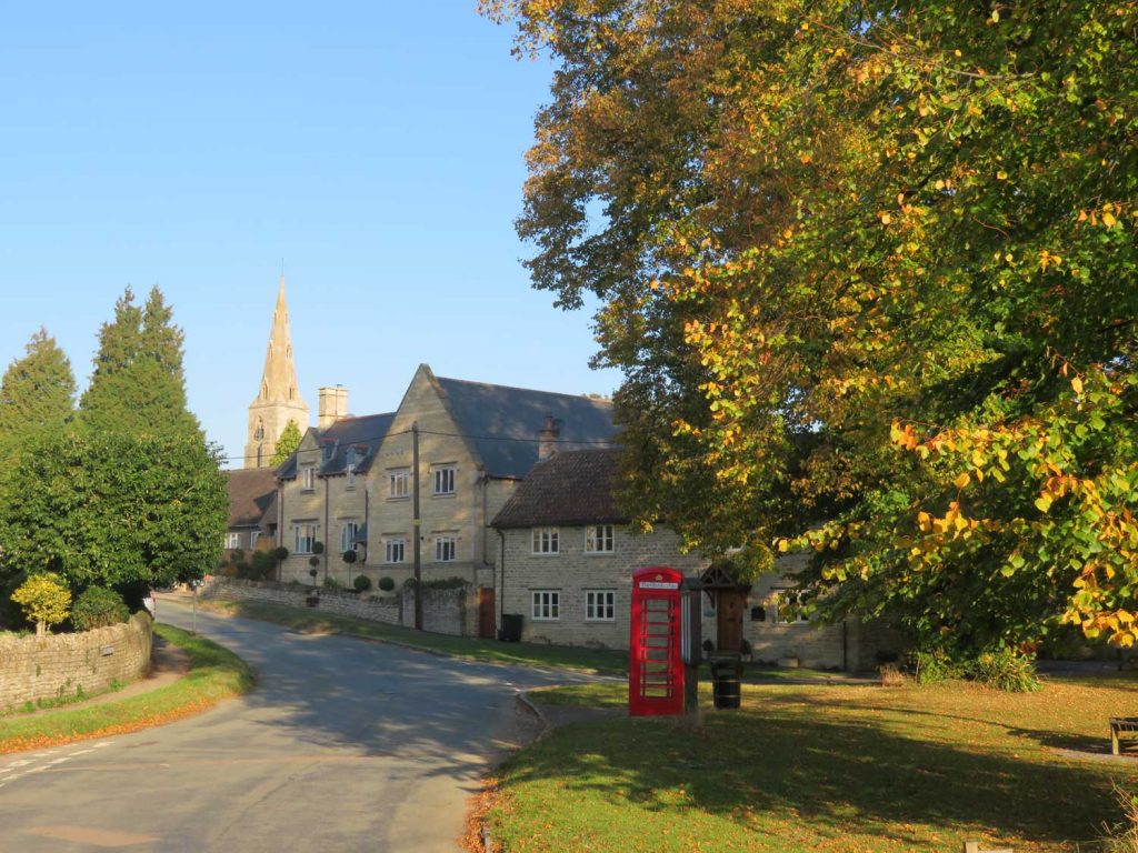
Polebrook 
Barnwell
DIRECTIONS
- Walk south down King’s Arms Lane, and branch left at the bottom down a rather scrubby path across the brook; on coming out onto a private tarmacked road, follow it straight ahead, all the way to the village of Armston.
- Where the road bears to the left just past the farm, take a footpath through a wooden kissing gate across a field to the left-hand edge of a copse; go through another kissing gate, bear right and, where the field boundary bears left, take the footpath to the right over a stile to re-join a metalled track after a few moments.
- Turn left into a field where there is a green footpath sign, with a view of Barnwell Hall as you progress to the road into the village; on reaching the road, turn right.
- Once in the village, cross the bridge by the pub and follow the small road left all the way along the village, with Barnwell Brook on your immediate left. Shortly after you pass the All Saints’ Church, turn left over the brook and proceed on the other side until you reach a footpath sign and Friars Close Farm.
- Walk up through the farm (derelict), take a slight left half way through it, and then continue out the other side in an easterly direction, steadily rising. Where there is an old crossing over the ditch, cross and then proceed in the same direction on the other side until reaching the road.
- Turn left here (there is also a field edge), and then right just after a wood along a footpath, heading east once again straight across a field.
- Turn left (north) on reaching a metalled track and follow this all the way to the road (it crosses a field at the end), keeping the water tower on your right throughout; then cross the road and continue in the same direction until reaching a hedge.
- Here you will see the path heads left (northwest) along another field boundary, then right through the hedge across a footbridge in a northerly direction.
- Turn diagonally left at a field hose tap towards a copse, which you walk through, keeping north on the other side through a metal gate, then over a wooden stile – at which point you will see Polebrook Church, your destination.
- Proceed to the church, turn left, then along a passage to regain King’s Arms Lane. Your work is done.
POINTS OF INTEREST
Barnwell Manor is the historic former home of the Duke and Duchess of Gloucester. The estate also includes the ruined Barnwell Castle, built c.1266 by Berenger le Moyne, who sold it to Ramsey Abbey in 1276 (private).
Barnwell Brook is a tributary of the Nene, as is Pole Brook. The village is neatly arranged along its length; and an interpretation board declares that water voles are still to be found along its banks.
The Barnwell Water Tower is a useful indicator of the top of the hill, at 72 metres, and visible for much of the later part of the route.
PIT STOPS
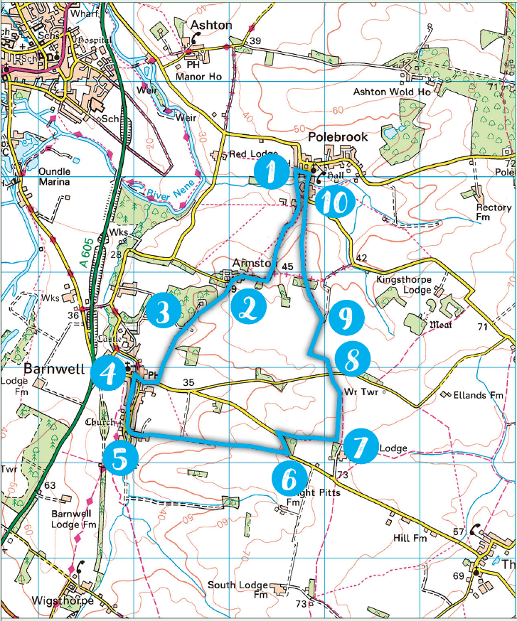
The King’s Arms, Polebrook, King’s Arms Lane, PE8 5LW (01832 272363, kingsarmspolebrook.co.uk). A delightful pub, full of character
The Montagu Arms, Barnwell, PE8 5PH (01832 273726, montaguarmsbarnwell.co.uk). Another cracking pub, you are spoilt for choice on this walk. If the weather is good, sit on the benches out front.